Ghana Institution of Surveyors (GhIS)
Established on 28th February 1969
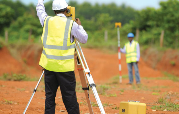
The Land Survey Division of the Ghana Institution of Surveyors (GhIS) is dedicated to the precise measurement, mapping, and management of land and related resources. This division plays a critical role in the development and implementation of land administration systems, including cadastral surveys, topographic mapping, and geospatial data management. It ensures that all land surveyors adhere to rigorous professional standards and ethical practices, maintaining the accuracy and reliability of land records and surveys in Ghana.
Through continuous professional development programs, the division equips members with the latest techniques and technologies in land surveying, such as GPS, GIS, and remote sensing. The division also serves as an advisory body to the government and private sector on matters related to land management, providing expert insights and recommendations. By fostering collaboration and knowledge exchange among members, the Land Survey Division helps to address challenges in land administration and promotes sustainable land use practices. Ultimately, the division is committed to supporting the economic development of Ghana by ensuring that land resources are managed efficiently and equitably.